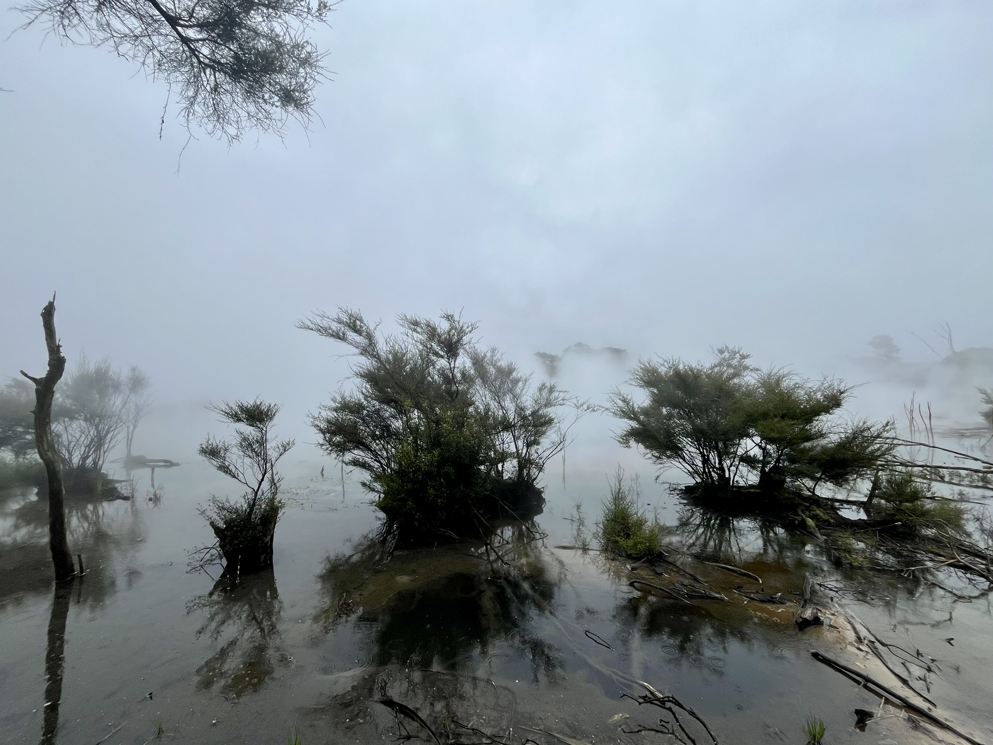
Rangitoto
Rangitoto, the youngest of Auckland’s volcanoes at just a measly 600 years old, being formed at the same time as the Hundred Years’ War came to an end and Sweden was ruled from Copenhagen as a part of the Kalmar Union. This almost perfectly circular island in the bay just outside Auckland with a diameter of about 5 kilometres is also the tallest of the Auckland volcanoes rising to a height of 260 meters above the sea.
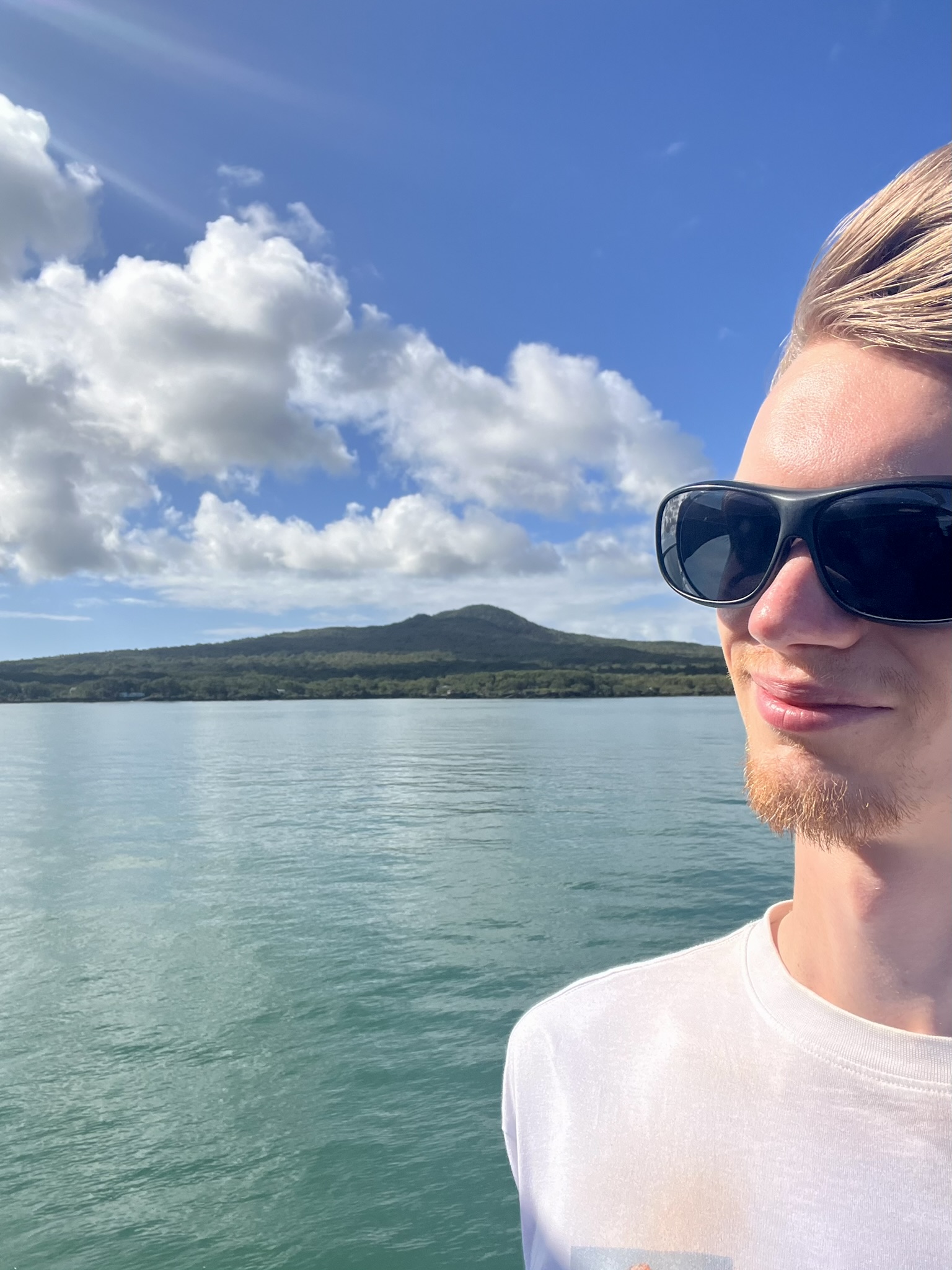
I set out on my visit to this remarkable island early in the morning of the 20th of February, though unfortunately a little bit later than I ideally should. So feeling a little bit stressed on the walk down to the ferry wharf in the harbour I arrived 5 minutes after their latest recommended time, only to then stand queueing for the next 40 minutes as the ferry didn’t even arrive before the departure time. And this was especially annoying as the time you can spend out on Rangitoto is quite limited, with the first ferry leaving at 9:30 and the last ferry returning at 15:30, which in an ideal world would give you about five and a half hours out on the island. Once we did leave the quay though everything went very smoothly, and we arrived at the Rangitoto wharf at maybe 10:15.
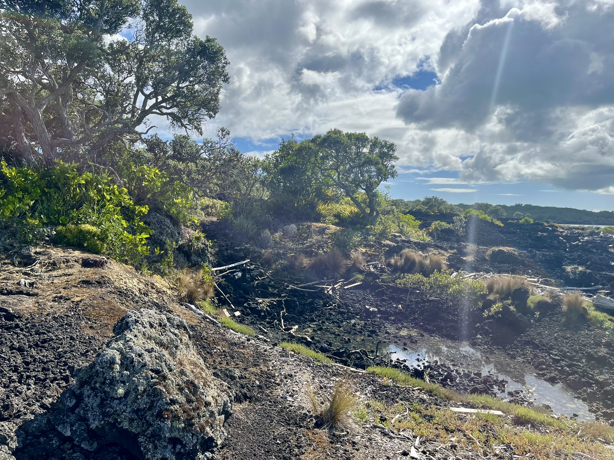
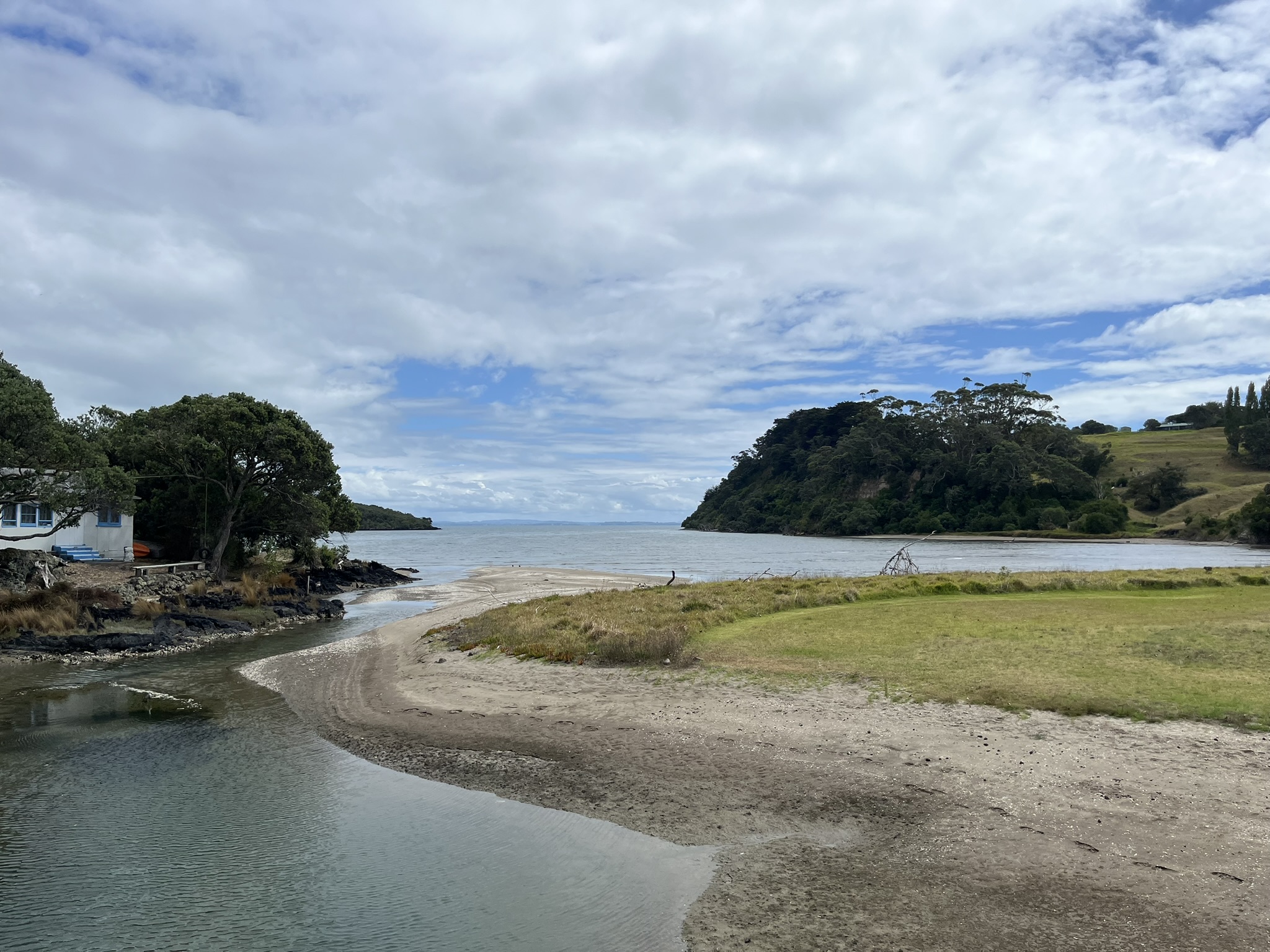
I began my hike with the coastal track, a six kilometre track on extremely rough beach and forest trails (rough as in many places made up of mango sized loose volcanic rocks) leading up to the causeway to the neighbouring Motutapu island. Entering this coastline felt like stepping into a different world: fields of lava rock looking like torn clay, lone trees of two meter high bundles of grass occasionally doting the landscape. And then the beaches of pitch black sand, mixed with white grains of ground down oyster shells, interspersed with lines of the lava rock stretching out into the ocean with mangrove trees growing directly on the lava.
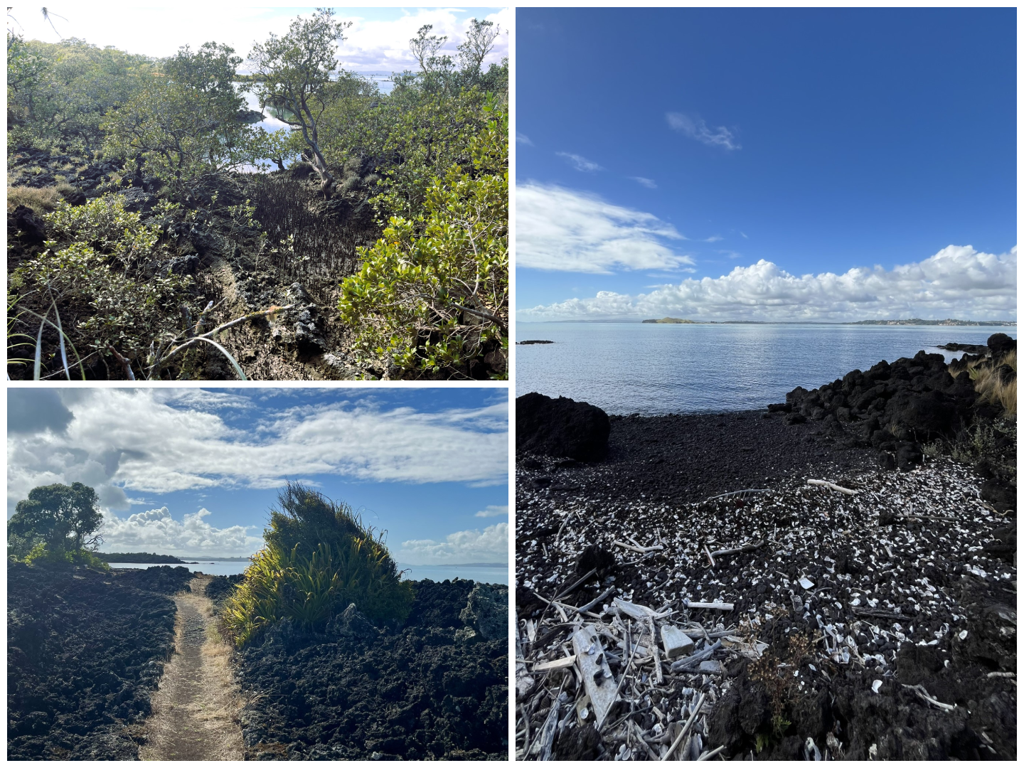
Unfortunately due to a combination of me being overly optimistic about how much I would have time to get through (the advertised time to just walk the route I had chosen was longer than the amount of time I had on the island) and the ferry arriving late meant that I had to keep up a blistering walking pace. So I arrived quite winded to Islington bay and the cause way over to Motutapu island. This next door neighbour has been around for a “bit” longer than Rangitoto, being one of the oldest islands in the bay at just a 178 million years. It is completely different, and the contrast is stark: Rangitoto’s harsh lava rocks and pioneer vegetation against the rolling grass hills of Motutapu and her lone pine trees. But I didn’t have time for her today, I just stopped quickly to cross the causeway so I could say that I went there as well. And also had a nice little chat with an older couple who were there with their boat.
The back on the trail, this time turning towards the centre of the island to climb to the peak and the crater. This started as a relatively tame hike compared to the coastal walk, first on roads which then transitioned into paths. And then after maybe 45 minutes of fast walking upwards I reached the much steeper climb up the actual peak. Finally reaching the top and having my lunch to some spectacular views of Auckland was an amazing feeling (especially as it had at this point got quite late for lunch).
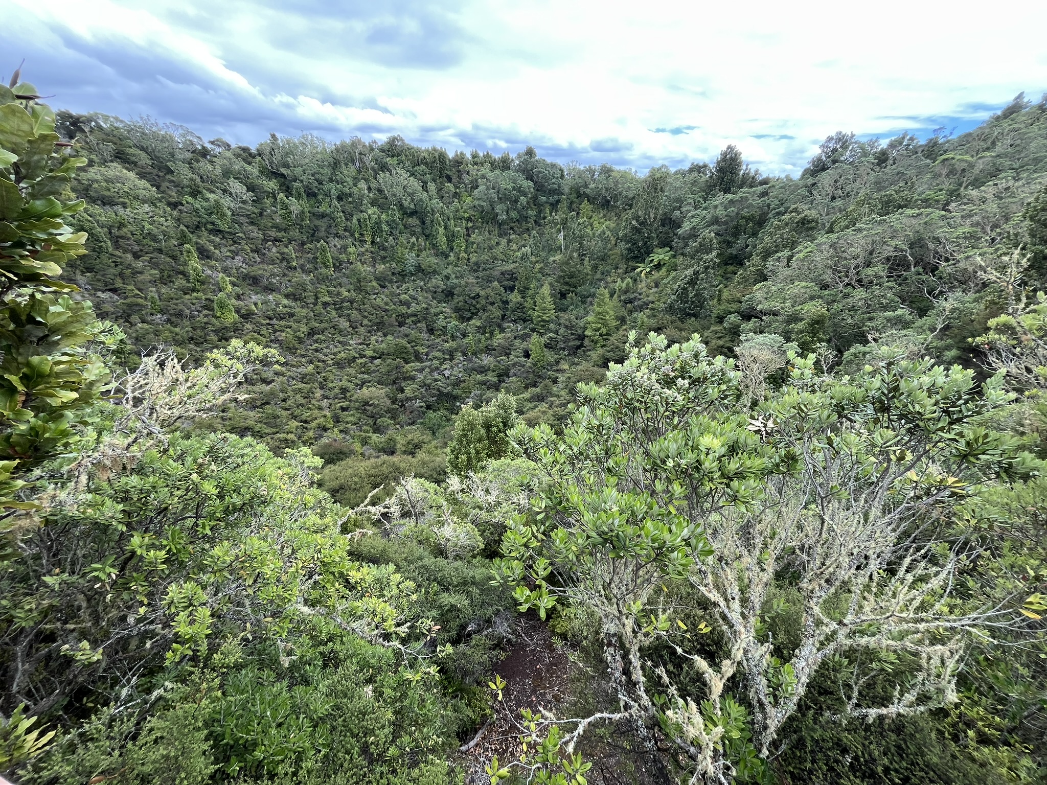
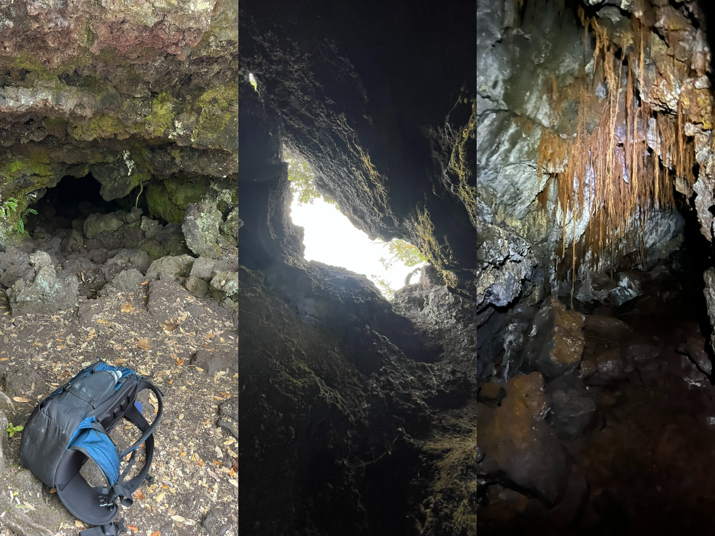
Lunch was followed by a quick lap around the crater enjoying both the gaping maybe 50 meter deep crater and the fantastic views in over Auckland and out across the Hauraki gulf towards Waiheke island and Coromandel peninsula. Then back down a quarter of the mountain where there are lava caves, formed when the outside of a tendril of lava cools after which the inside empties out. I was really happy here that I had got a headlamp as these cave tunnels went about 10 meters deep and at the lowest maybe just half a meter in height, before then opening up into a much taller tunnel with roots coming down from the ceiling where I could easily stand up. Finally contracting again into just a crack in the ground which climbed out of. These caves were really something special, and extremely rewarding if you just braved that short stretch of crawling. But quite hard to get a good picture of.
Finally, I headed back to the ferry in a reasonable tempo as I had a bit of margin and was at this point getting quite tired. Spent the last 20 minutes down by the wharf making a sketch of the peak, and then jumped on the ferry back to the main land. All in all a wonderful day of adventure, but it would have been great to have a few more hours out on Rangitoto and not have had to stress so much.
