Mt Ruapehu
Mount Ruapehu is the largest active volcano in New Zealand, and the tallest mountain on the North Island, with its highest peak reaching 2,797 m. Situated in the famous Tongariro National Park in the centre of the North Island, just south of Lake Taupo, in a landscape dotted with smaller volcanoes. While it is an active volcano (last having a minor eruption in 2007), it is also a ski resort, and the University of Auckland Snowsports Club has a hut in the skiing “village” of Whakapapa on its northern slop.
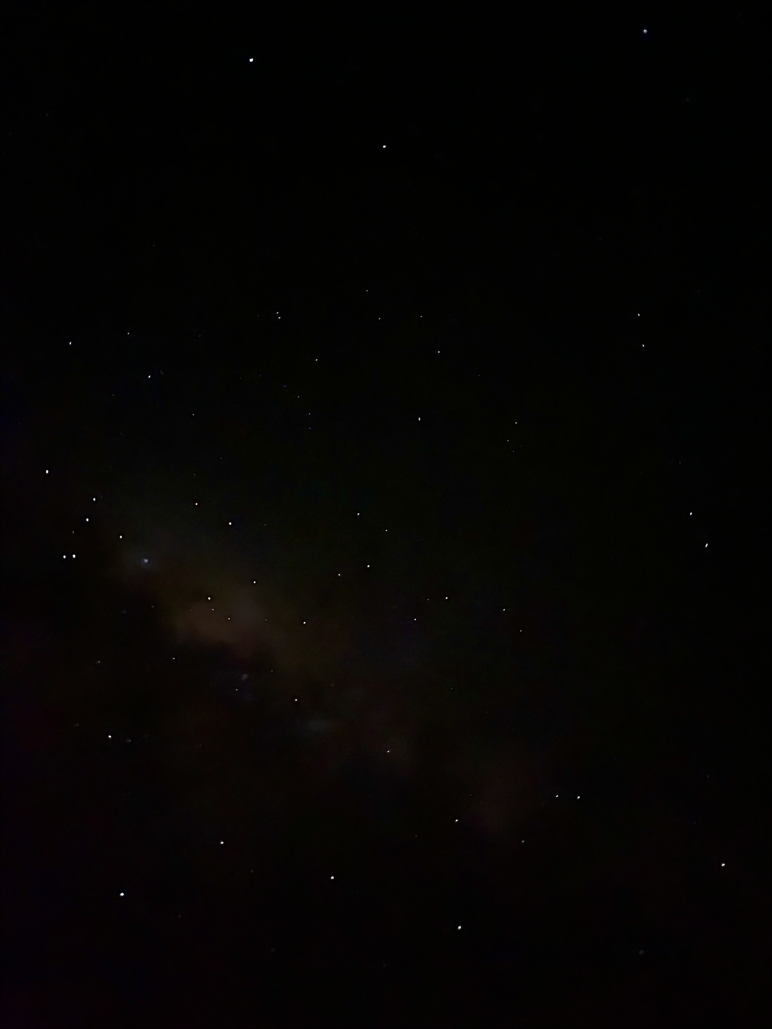
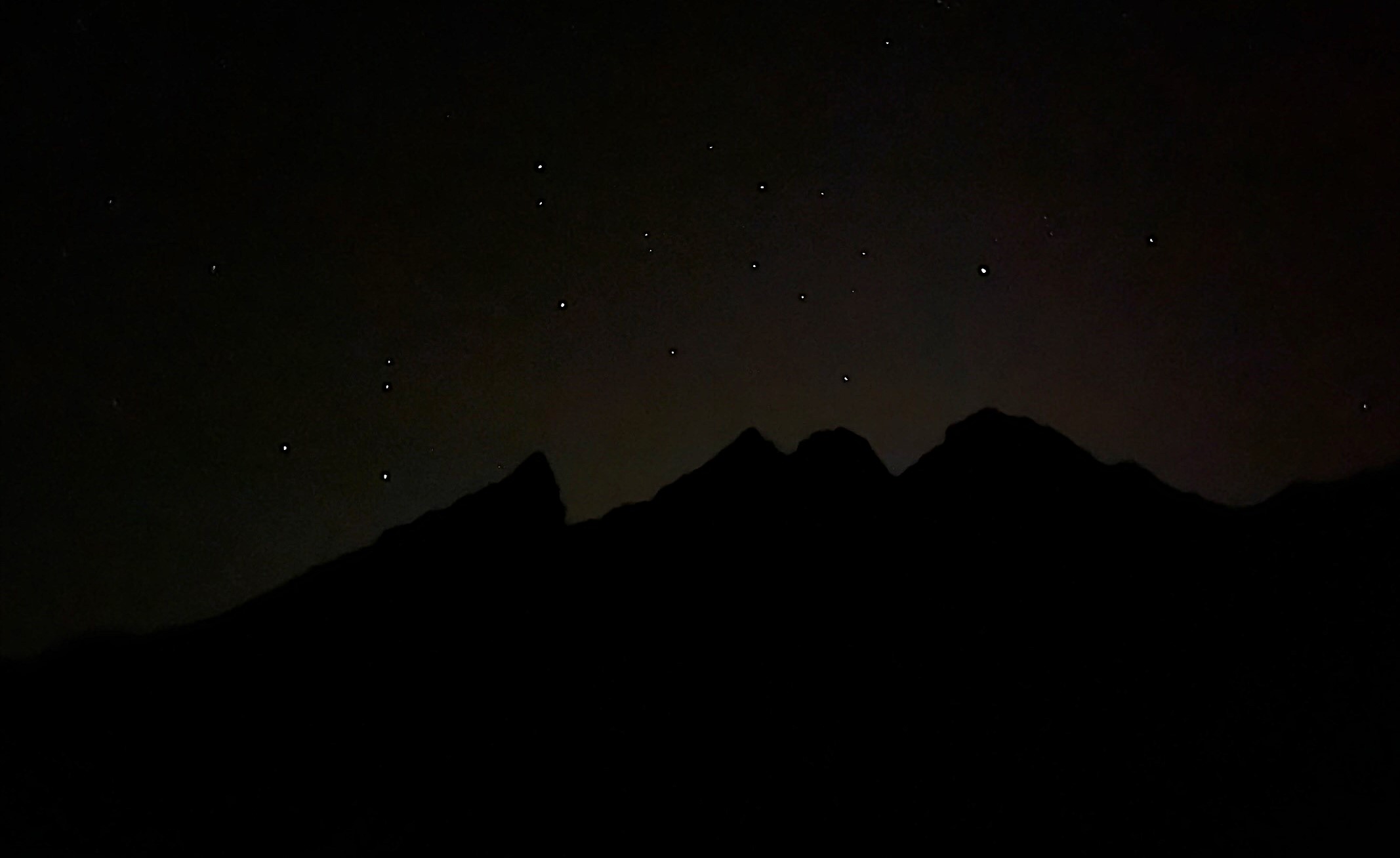
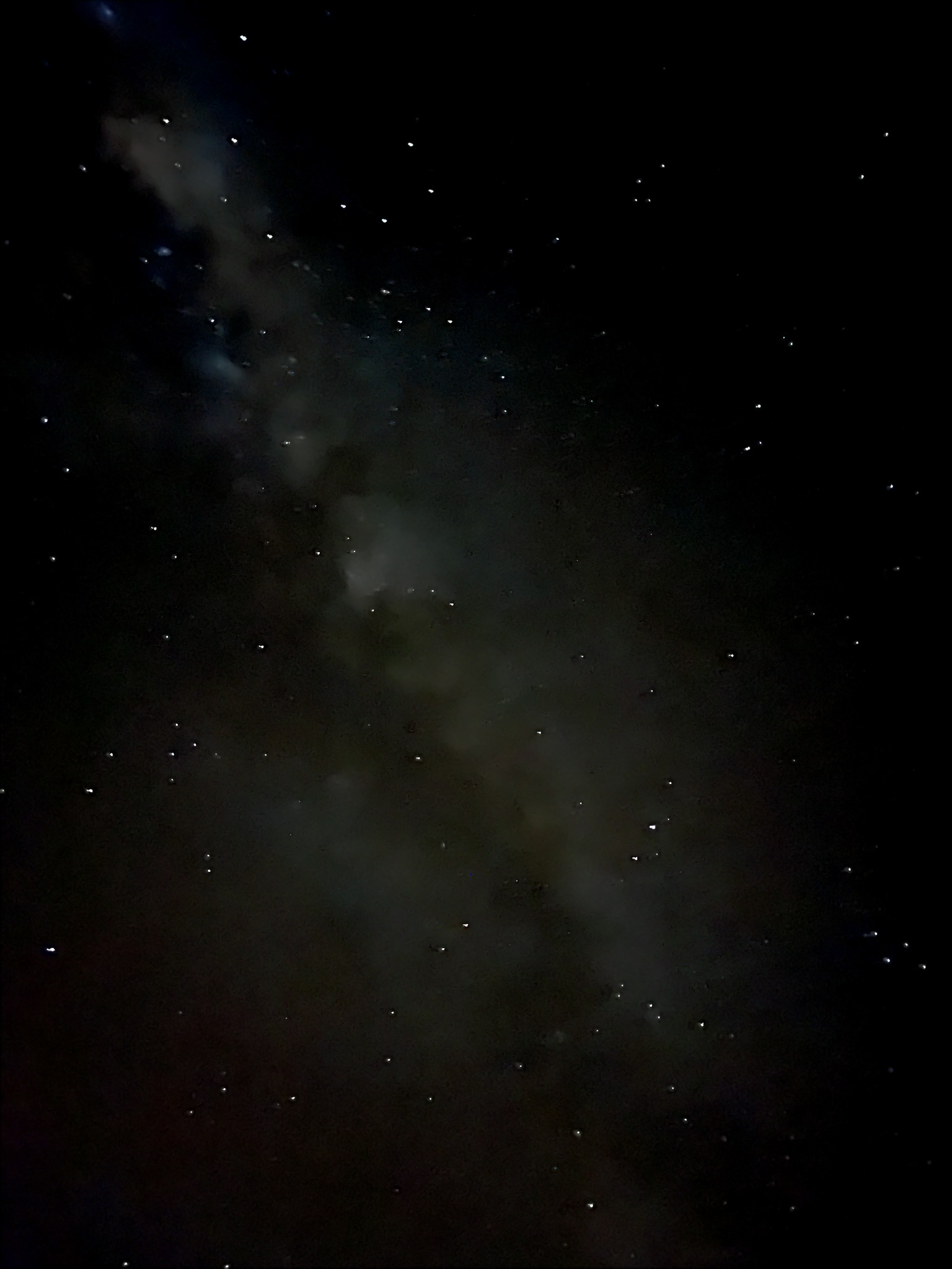 The night sky was amazing, and I did not do it justice in this photo
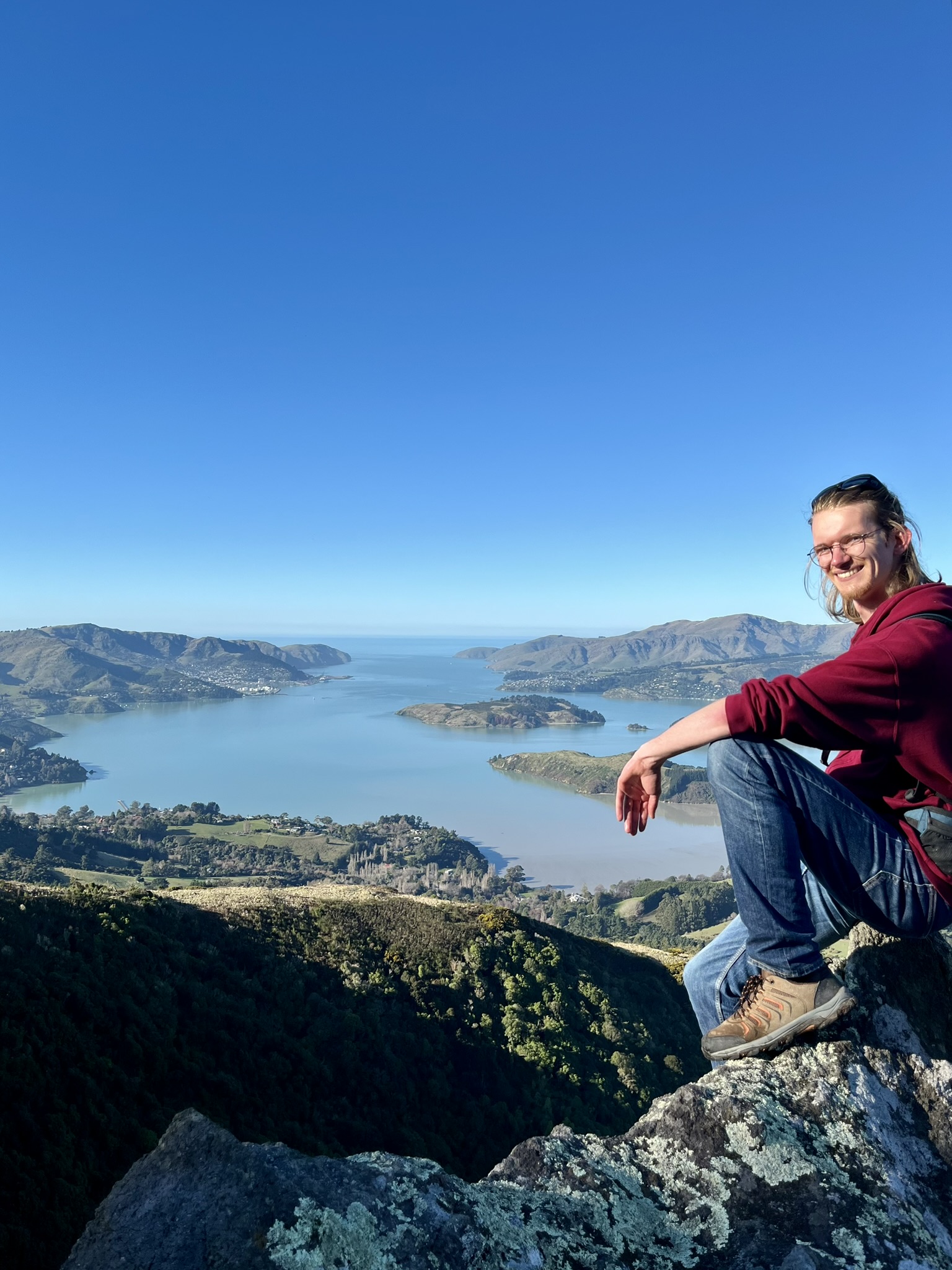
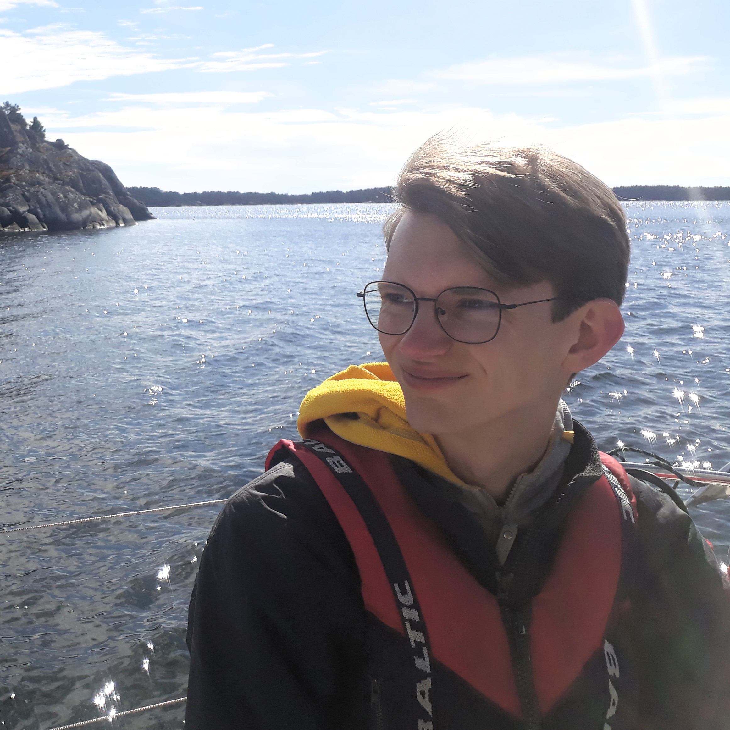
On the weekend of the 23rd to 25th of May I joined the climbing club’s trip down to Whakapapa to climb in the Whakapapa Gorge. We set out on Friday evening from Auckland, at close to 6:30 pm the car I rode in helped with the climbing gear. Which suited me fine as that meant that I just about managed to hand in our presentation recording in my Big Data course, were we had some trouble with corrupted files. So I could be completely free for the trip. The drive down took us about four and a half hours, and though we were not the first to leave, we arrived in the hut first. It is a really quite big ski lodge with a large common room and kitchen, sleeping I think 35 people in dorms. We got a fire started and started setting up our beds. At this point Nicholas who had been in my car asked said that he planned to ascend the mountain that morning to watch the sunrise, and asked if anyone wanted to join. This sounded awesome, though slightly less so when I understood the time frame: leaving the hut at about 3 am (was close to midnight at this point). But I had gone on this trip more for a chance to get down to Tongariro than for the climbing (though I do really enjoy climbing as well), so I was ready to risk not getting much climbing done and joined in.
So I go up at 2:40 in the morning, and put on all the clothes I had brought which was not really the best set of gear for what was to come, but at least I had a full thermal layer. Together me, Nick and Elias (who was in my group on the Whangateau field trip) met up to set out into the cold and still night (was just above 0 degrees down by the lodge, and no wind). Very luckily Nick asked if I had gloves (which I didn’t as I had not prepared for this), and then made me “borrow” a pair of left behind skiing gloves.
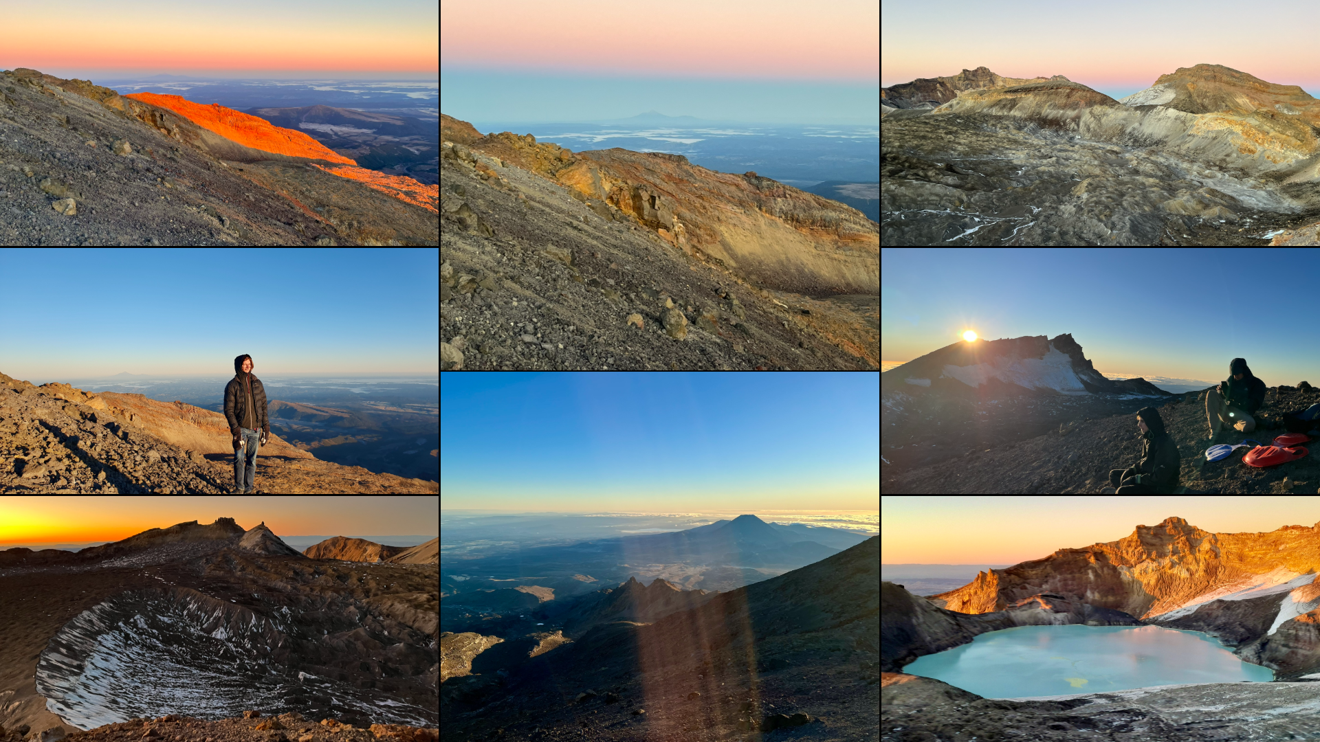
And so we set off under the sparkling night sky in the light of our headlamps. At first, we could just follow the road up through the village, but that very quickly turned into a rough gravel road. This road brought us maybe the first 200 height meters, out of 1100 meter if we wanted to reach one of the peaks (Whakapapa being situated on 1,600 meters height). Then we found some cement walkways, covering pipes for snow machines further up, which were still quite good to walk on. And as we climbed we rotated the backpack with additional clothes and snacks we had brought, and the two toboggans (sjärtlappar for the swedish speakers) for maybe riding down on the glacier on the top.
The cement walk brought us maybe another 50 height meters, but then we were out on our own, in a landscape of volcanic rocks both loose and part of the mountain. And so on we walked, and occasionally climbed, over ridges as well as flatter sections. The next landmark was reaching a magic carpet lift which provided some easier walking, and brought us up to the top station of the gondola at 2000 height meters. By this point it was clear that the gloves were invaluable as it was already getting a bit cold, and I also borrowed a beanie as my head was getting a bit cool with just my hoodie. It was unfortunately also clear that I was the weakest link fitness wise in this group, and so from this point onwards I was relieved of backpack carrying.
 Already at a bit after 4 in the morning we could see the first hints of light in the east
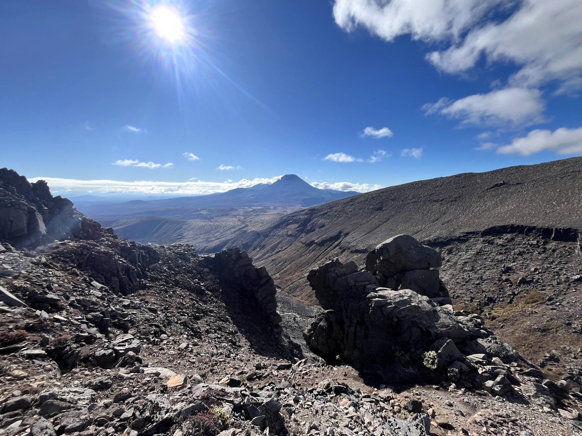
Another 200 height meters later, in which we followed the last ski lift upwards and had to do our first real climbing, and we reached the last human outpost, the top station of said T-bar lift at 2200 meters. By this point, we had also encountered our first sand patches, which I tell you is not a fun experience. If we before this point had been ascending rough terrain, it had still been within a region of human activity. Now we set out upwards on the last 400 height meters to the top plateau with our only guide except the rising mountain being that the occasional small stack of rocks (on the other rocks) previous climbers had left.
This last part was really rough trying to navigate a field of large and small rocks, in complete darkness, and also climbing ever upwards. By now we were stopping every 50 height meters or so, and I was cursing the fact that I was undertaking this in sneakers. On and on, ever upwards with the climb getting steeper, and also more and more dominated by sand. I’d say that the last 200 height meters upwards was almost exclusively sand, with the occasional rock patch thrown in. We really had to be careful not to send rocks down on the people behind us. And then we suddenly crested the ridge and were up on the plateau.
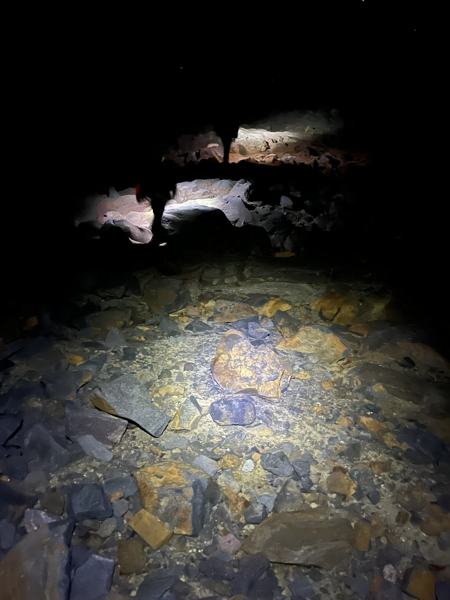
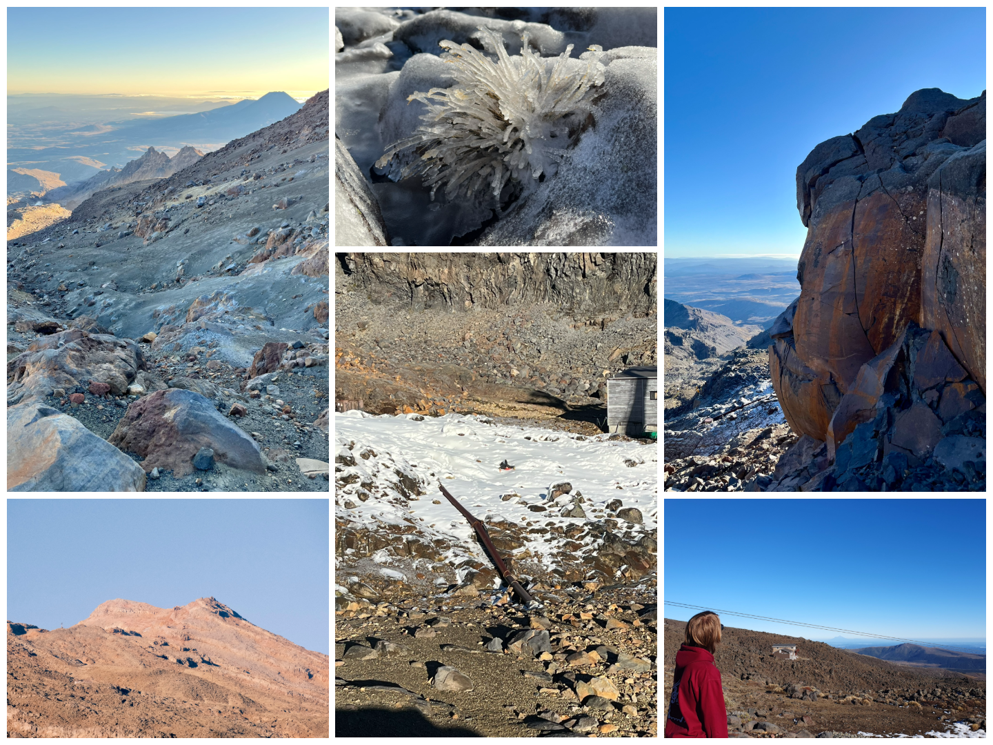
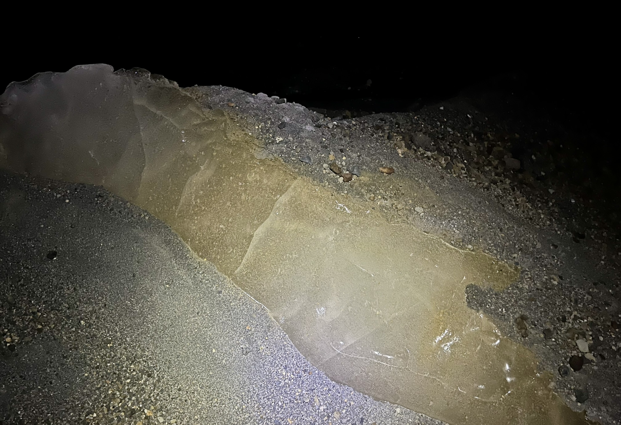 An exposed part of the otherwise sand covered crater glacier
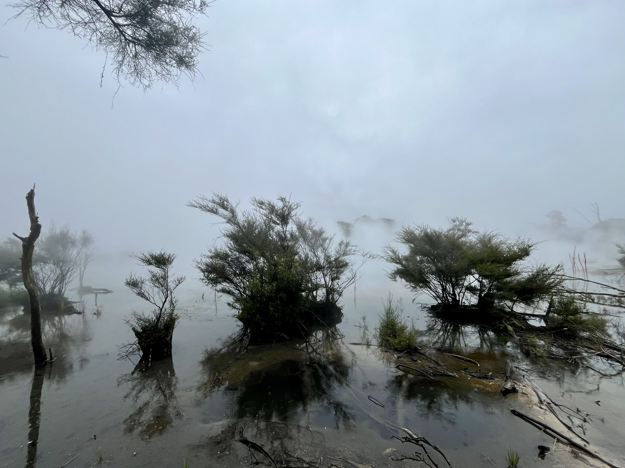
After three hours of exhausting walking, climbing and scrambling we were up on the top plateau of Mount Ruapehu, 2600 meters above sea level. At first, our plan was to make our way up onto one of the peaks, and as such we made our way down onto the top glacier. It was unfortunately not much to look at, being almost completely covered by sand and gravel, with the occasional snow patch. But the formations of ridges were impressive, especially further on, and we did find the occasional ice path and slips where the ice was exposed. The ice ridges turned out to be a bit too impressive, and we therefore made our way back onto the rim. But at this point the sky was clearly starting to brighten, and also I was starting to feel very exhausted. So when we found out how much more we’d have to walk to get to the closest peak, we decided to turn back and find a place out of the freezing wind coming over the ridge and wait for the sunrise, which was rapidly approaching.
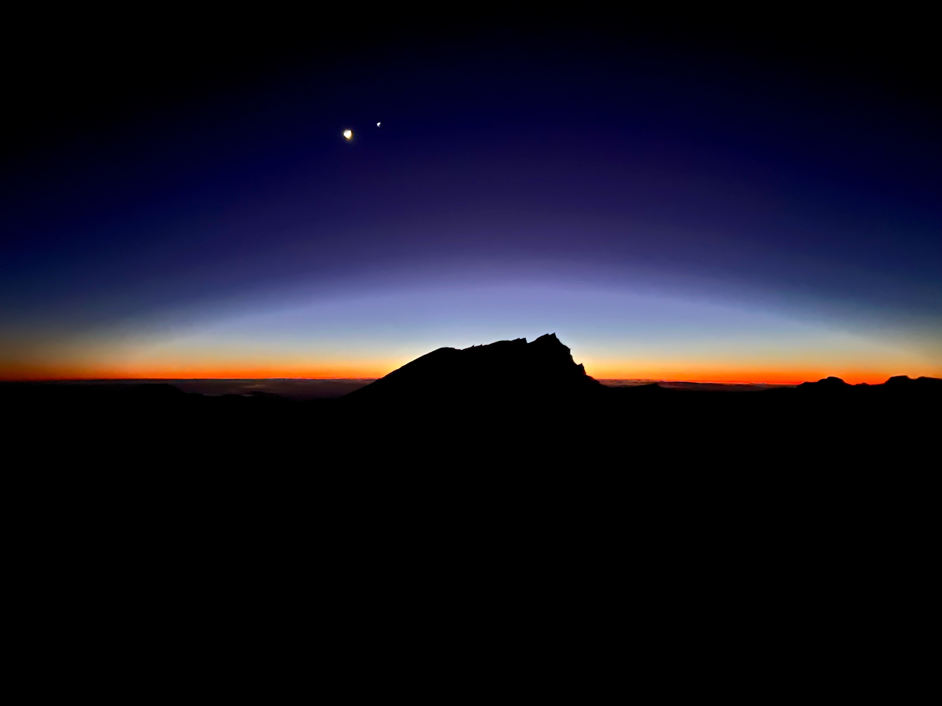
And what an absolutely incredible sunrise it was, it is hard to put into words, and my (in my humble opinion) rather nice photos of it does not do it justice. I don’t know if it was due to the effort we put in to get there, or the air up there, or just the scenery? But the colours of the sky, and how they framed the northeastern peak, was just unbelievable. Complemented by the waning crescent of the moon above in the still black sky (which my camera did not have the capacity to capture satisfactory).
We sat that just amazed by the view, enjoying our cookies and recovering our strength, for maybe 45 minutes. Then the other two after some consultation decided to run over to the crater lake (a highly toxic and acidic lake with an intimidating greenish hue), while I decided to save my strength for the still significant trip back down. I did borrow and additional down jacket which finally brought the temperature situation under control (was quite cold before that). Except when you crested the ridge and got the full force of the wind (maybe 6 m/s so not that bad in the grand scheme of things). The cost for taking a photo there was very cold fingers.
While waiting for the others to return, I used the opportunity to call home in which was actually really nice, and a good way to take my mind off the cold. The others returned after maybe another 45 minutes, and by this point the sun chose to actually come out at our waiting spot. And with that lovely view warming out hearts, we started our long hike back down.
Well, for the first part, hike might be a stretch. More like sand sliding down the quite steep slope. Both Elias and Nick went on the toboggans while I walked/slid on my shoes down the first maybe 200 height meters, until the slop had levelled out enough to not be dominated by sand. Then it was on to walking, much harder on the knees than the soft sand slowing you down rather than the abrupt halting of solid rock which requires much more modulation of speed.
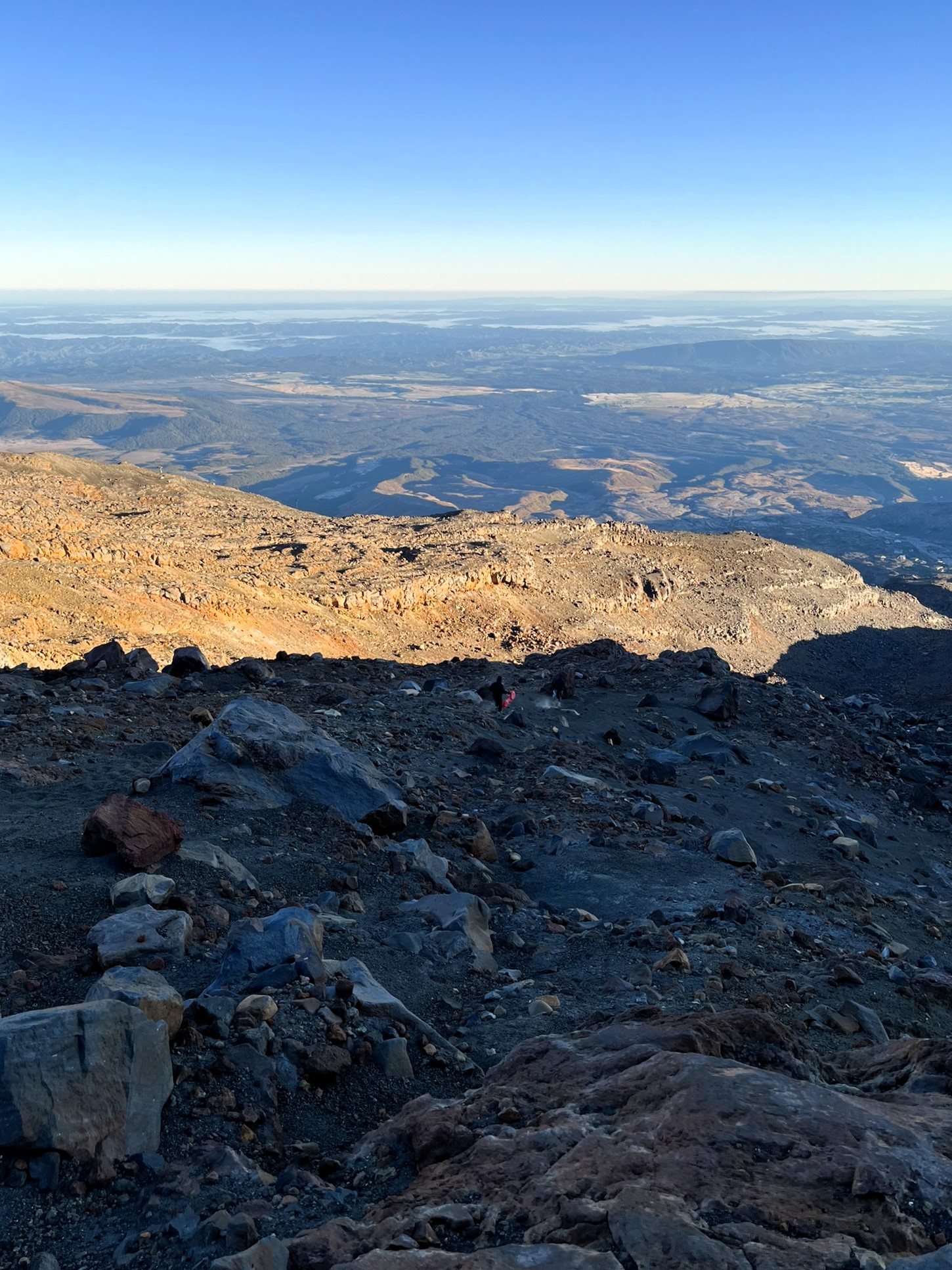
The rest of the walk down was slow and steady work, less tiresome than on the way back up, but still challenging with the terrain and safely walking down. But the sun was out, and the weather was really glorious. As we got back to the top stations of the ski system we met a few people on their way to the top, and then were sorely tempted by the test run of the gondola. After a lot more walking, including some challenging areas where they had run the snow cannons, so now the ground was covered in wet ice, we finally got back on the roads. And shortly after that, around 10 am, we got back to the lodge just in time to meet everyone heading out to the climbing spot.
After a slow breakfast I headed off to get at least an hours nap, to complement the maybe 2 hours of sleep I got during the night. When I “awoke” (sleeping during the day has never been my strong suit) I had an awful headache which I don’t think was only due to the lack of sleep as I was quite alert otherwise. But I had had a very stressful week, getting two big group project across the finish line, and weekend headaches when the stress lets up is not uncommon for me. So I decided to stay in the hut and rest for a bit longer, which ended up being the whole day as while it got better, I never felt great, and I’m unsure if I’d even would have made the walk to the climbing spot.
That evening when everyone returned we all had nachos and chilli, and from what I understand there was then quite a big party. I however headed to bed even before dessert, and fell asleep without too much fuss.
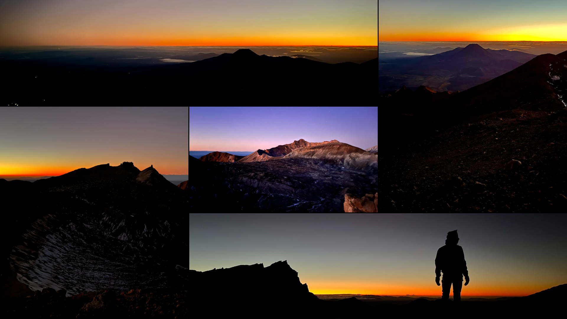
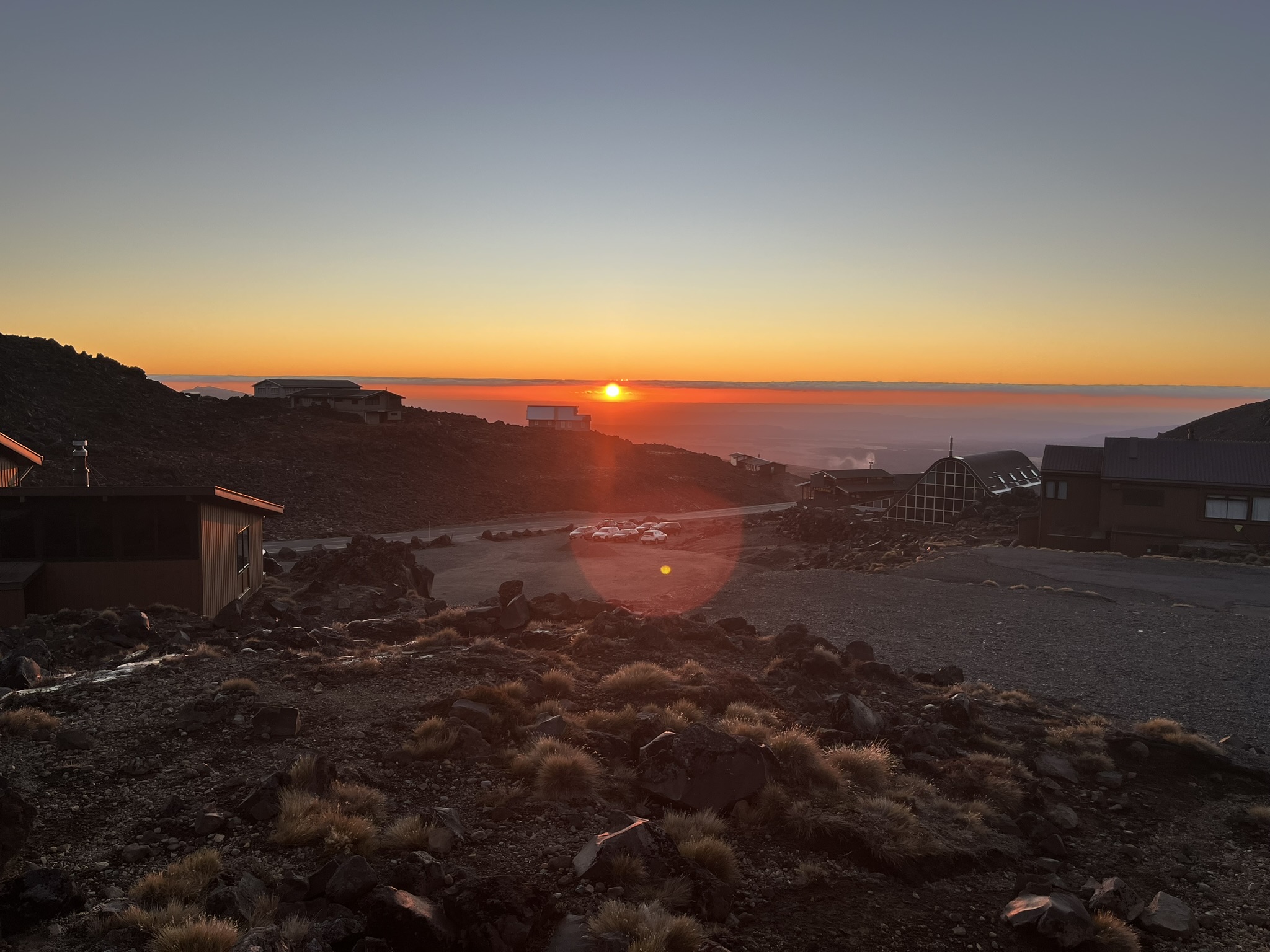 The sunset that evening was gorgeous
Much better rested, I got up quite early next morning and had breakfast before basically anyone else. Then we spend quite a bit of time that morning cleaning the lodge, before grabbing climbing gear and starting to walk towards the gorge. The way there brought us up and along Meads Wall which I have found out now afterwards is where they recorded the Emyn Muil scenes in the Lord of the Rings trilogy. It is quite cool to be able to recognise the landscape in a scene in probably my favourite movies (and books), though a bit strange that I missed it while actually there (I blame walking up a mountain at 3 in the morning). While on the topic of LOTR, you might have spotted the mountain which served as the reference for Mount Doom in quite a few of my pictures above, Mount Ngauruhoe. And a few of the close up scenes of Mount Doom and Mordor were also filmed on Mt Ruapehu, just in the area of Whakapapa.
 Meads Wall looking at Mt Ngauruhoe
The actual climbing was fun but difficult. We had used up all the good weather on the Saturday, and the Sunday was cloudy with a bit of wind and temperatures at maybe 5 degrees. But while the air was cold, the rock was really cold and also excellent at drawing all the heat out of your hands. After just a few minutes, your hands felt like you had gloves on, which makes it infinitely easier to hurt yourself. In the end, I only did one partial climb, and one full one which was an 18 on whatever scale New Zealand uses (think it was the Australian outdoor scale) which was fun. And I have missed outdoor climbing and top ropes, have done almost exclusively bouldering (and only indoors) for maybe the last 10 years.
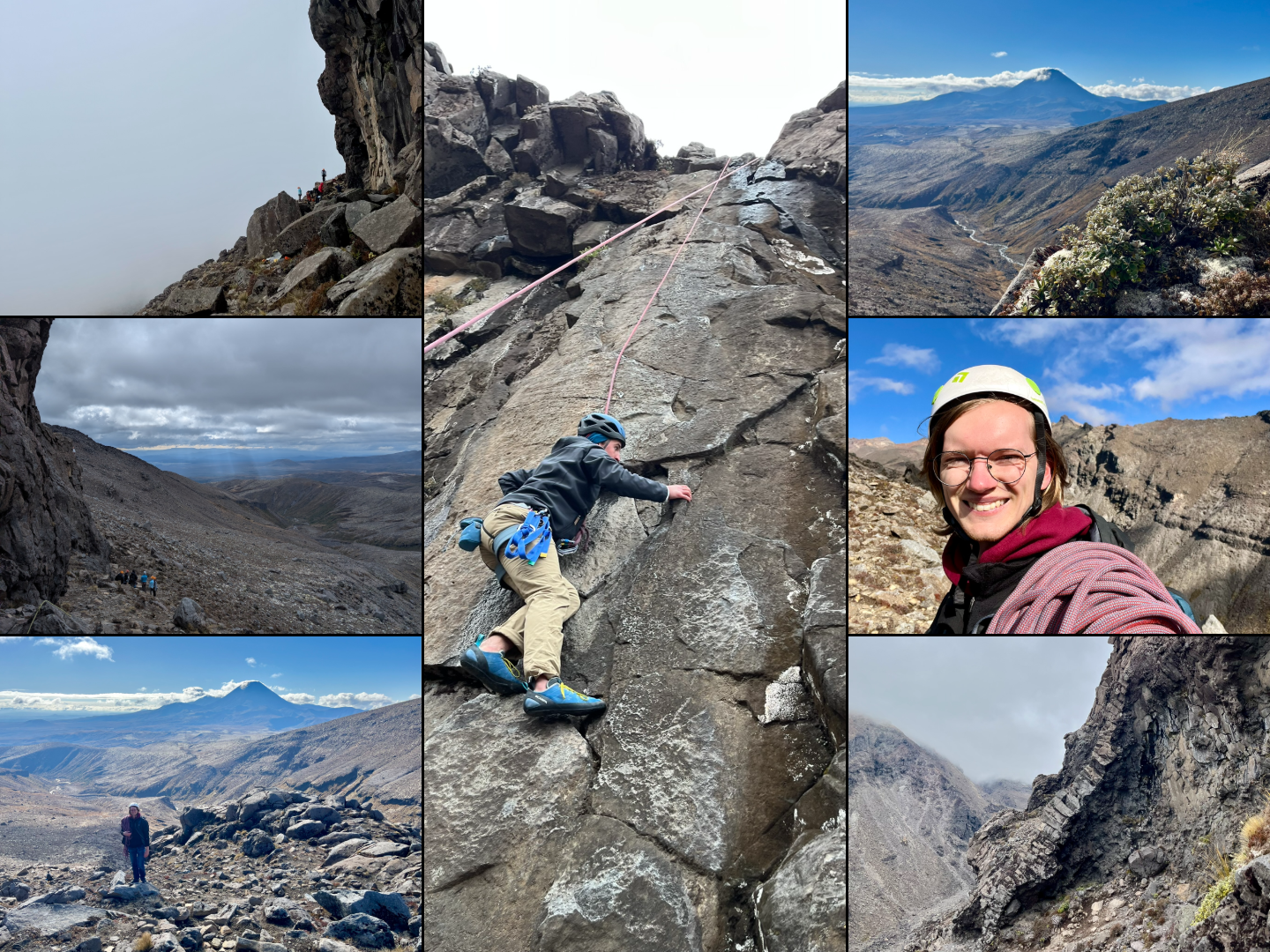 The central picture is of the route I did
And that was this trip, and my longest blog post so far. We returned at 3 pm from the climb, and I rode back with the people I climbed with that day, getting back home at around 8 pm. An absolutely amazing experience, though not at all what I had expected.