ANZAC Day
Anzac day is Australia and New Zealand’s war memorial and remembrance day, which has been commemorated since the First World War. The name comes from the Australian and New Zealand Army Corp during both World Wars, and the date is that of the disastrous Gallipoli landings on the 25th of April 1915 where the Corp was first put into action to try and open up the Dardanelles for the British Navy to attack Istanbul.
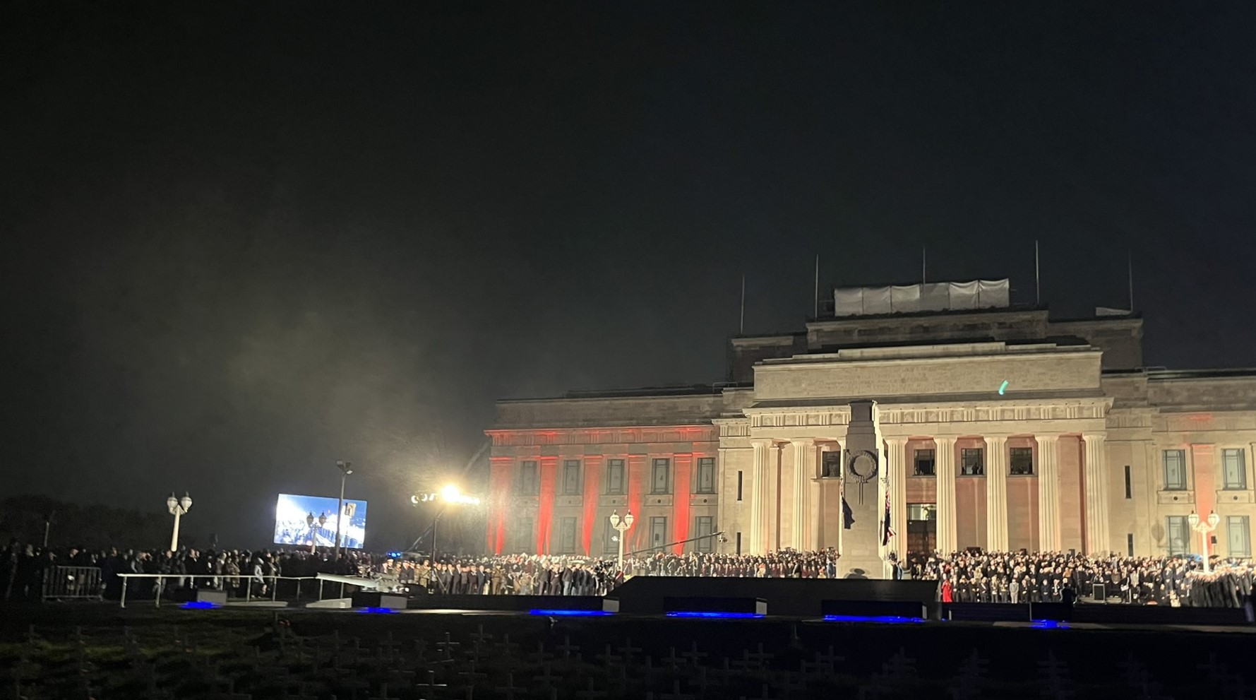 Auckland War Memorial Museum lit up for the Anzac Day Dawn Service
I only decided to actually go and participate the night before, being quite a history nerd and with us really not having anything similar back home (one of the perks/downsides of 200 years of peace). And I am happy that I did, as I just thanks to fortunate circumstances would happen to go to the “main” Anzac Day Dawn Service at the Auckland War Memorial Museum which is situated just a 15-minute walk away in the Auckland Domain which is literary our back garden.
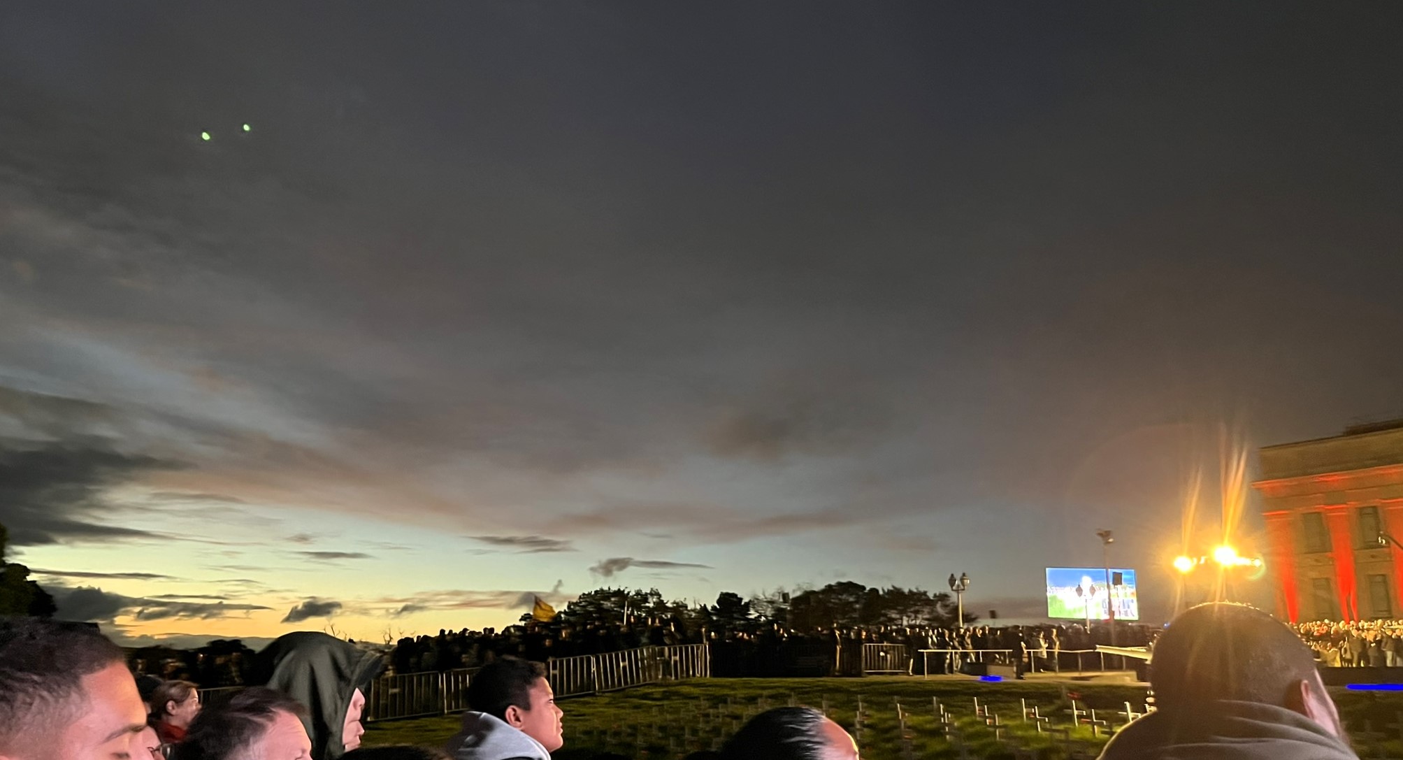
As it was a Dawn Service I got up at 5:20 in the morning, and then walked through the domain up to the memorial together with a somewhat large stream of people. When I arrived I go quite a good spot to watch and the service started quite soon afterwards. It was not in any way a religiose service (which I wasn’t entirely clear on from the name), but instead consisted of some addresses including by the Governor General (the representative of the King), a few live music performances, one of which was Brothers in Arms, a silent minute, a march by veterans from I think the Vietnam War and finishing of with a Haka. All in all a very touching experience, especially with dawn creeping in.
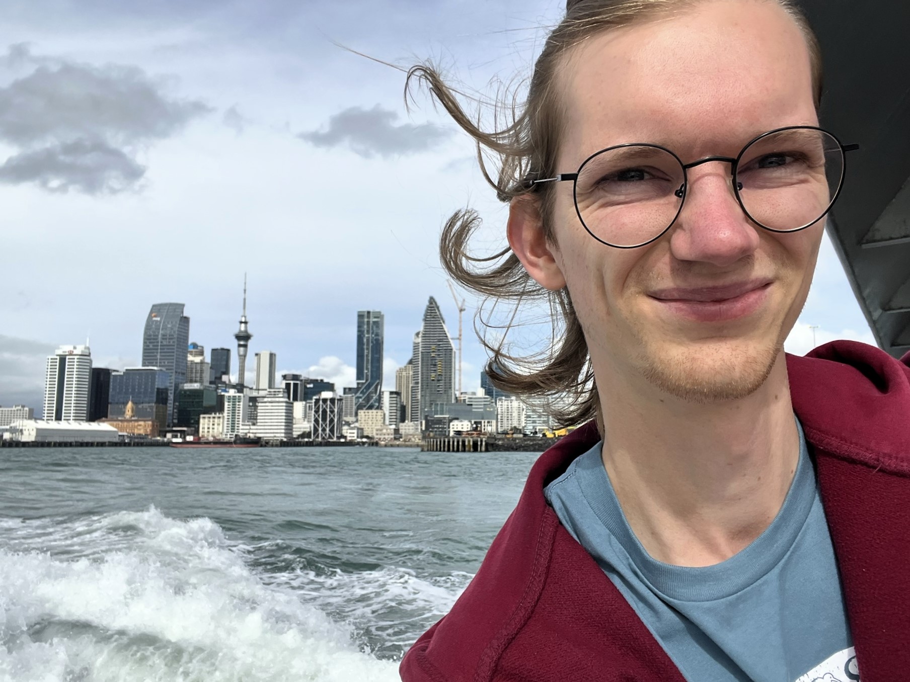
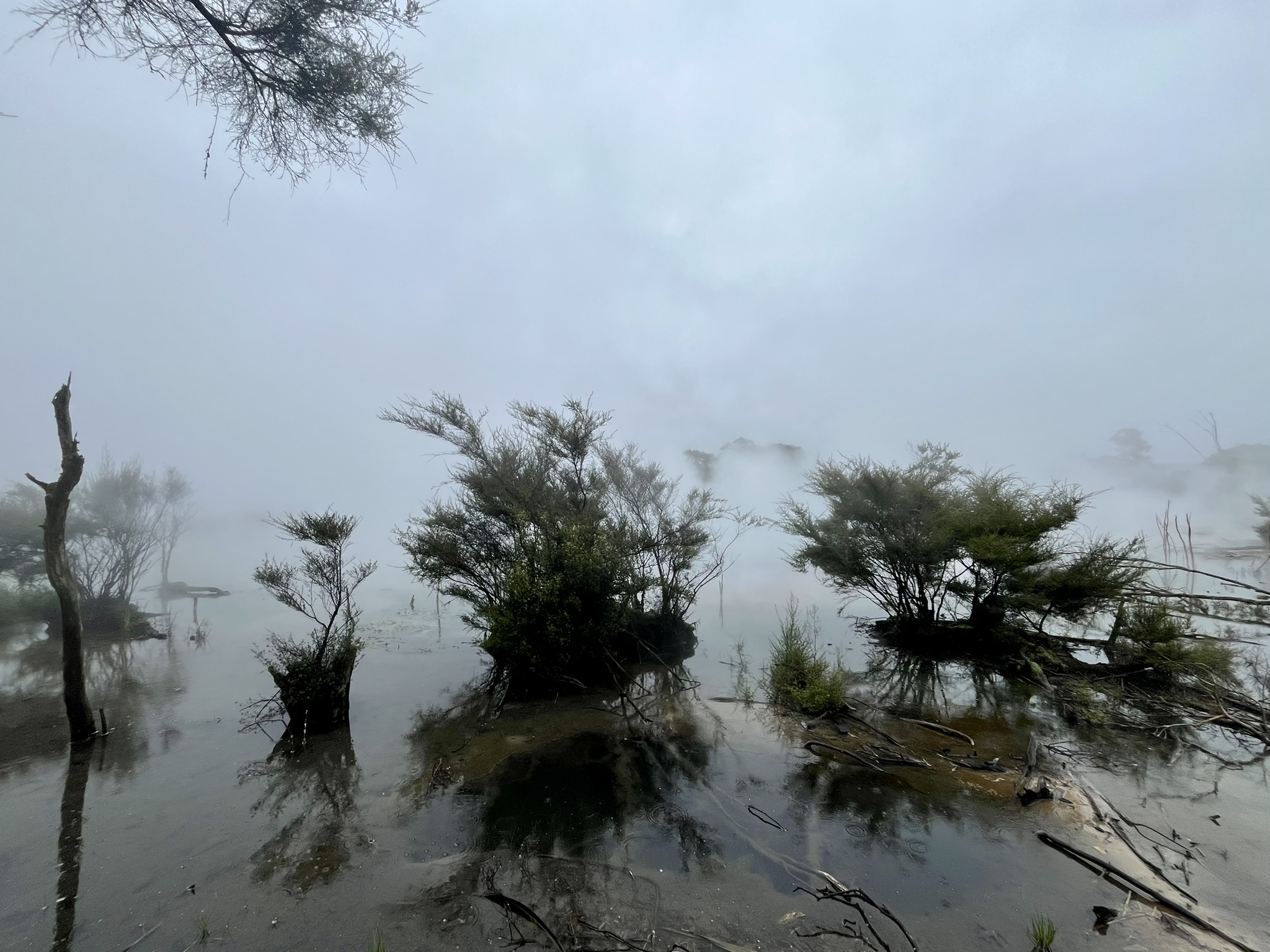
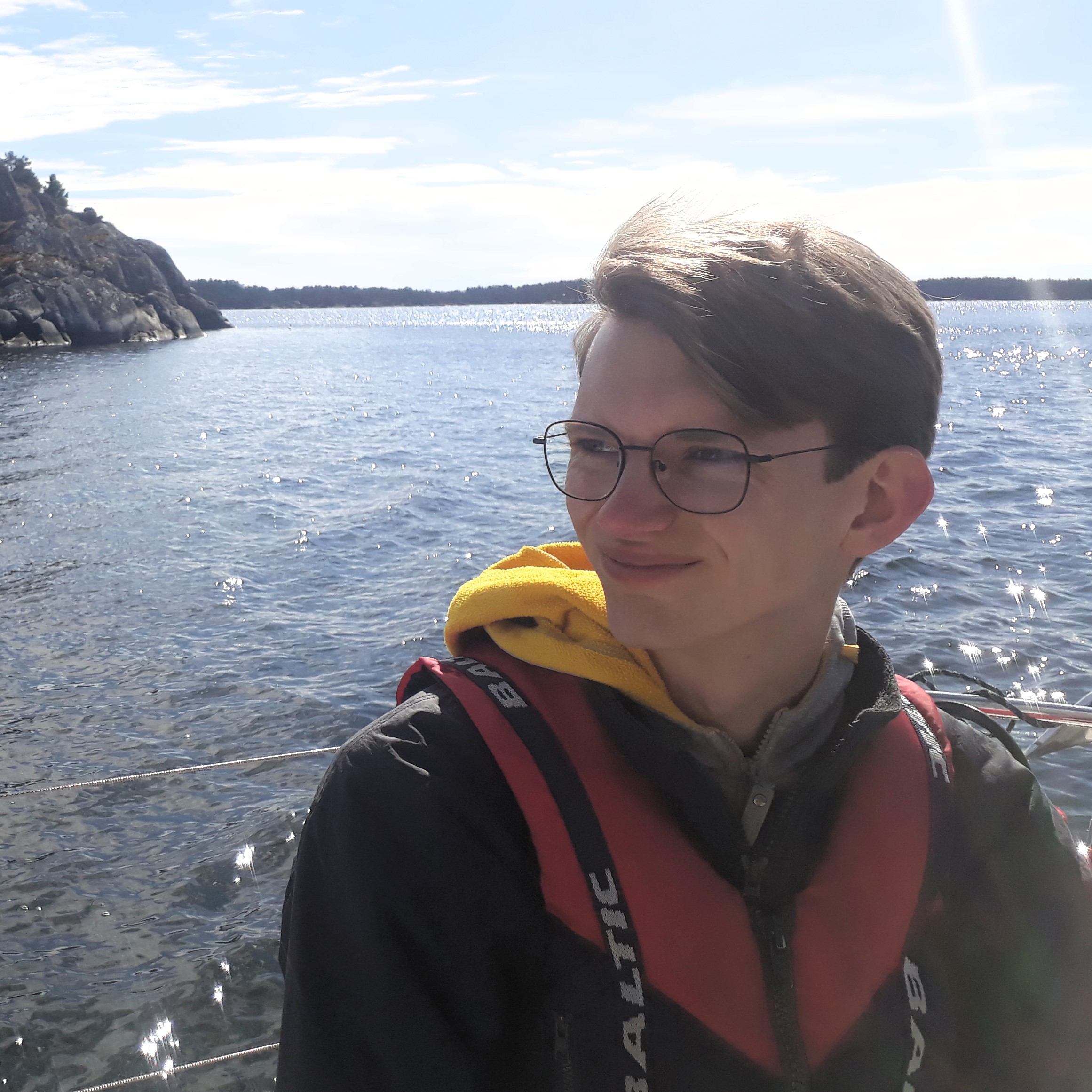
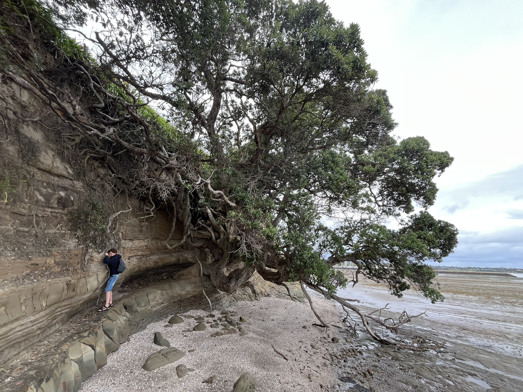
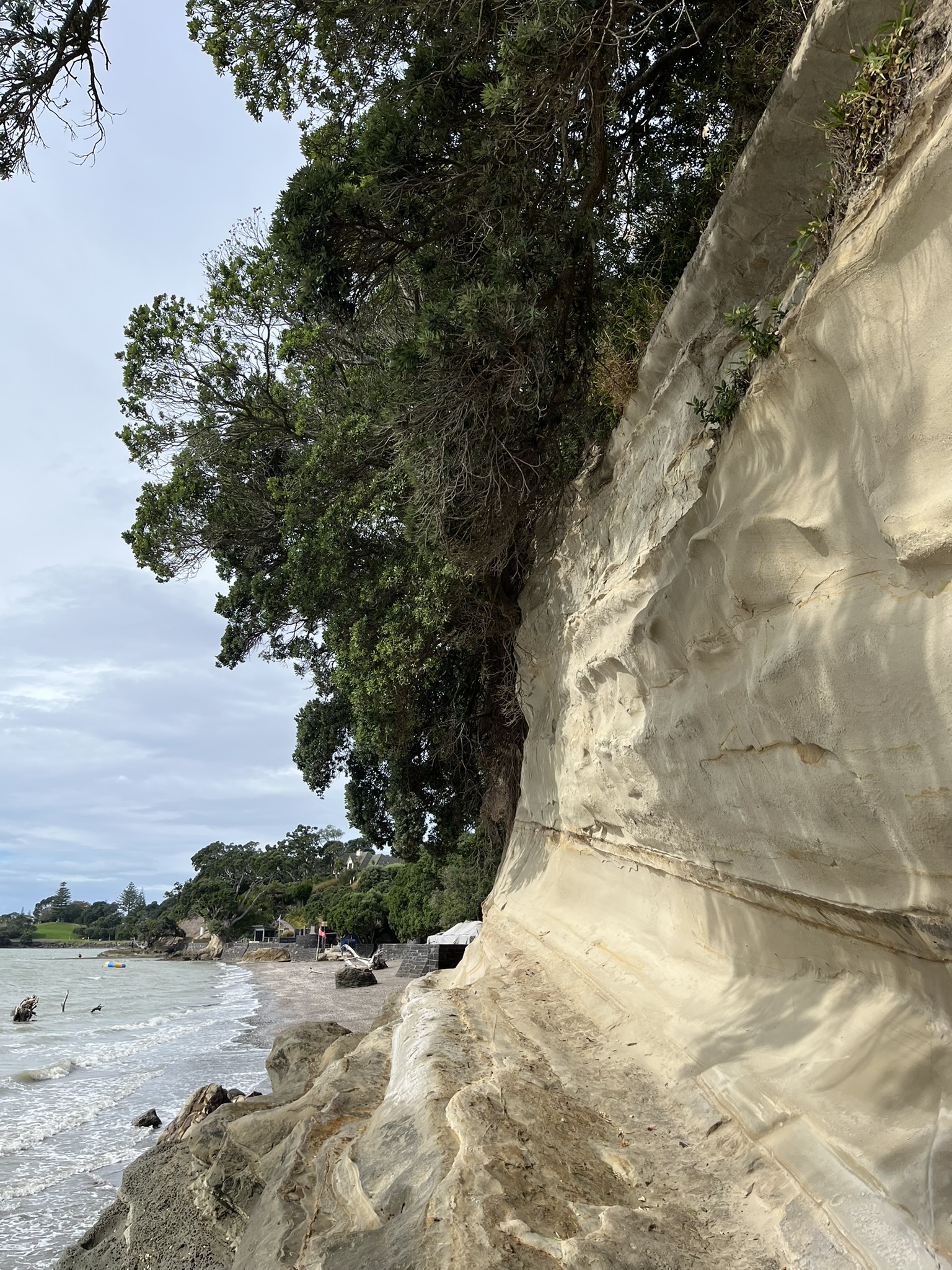
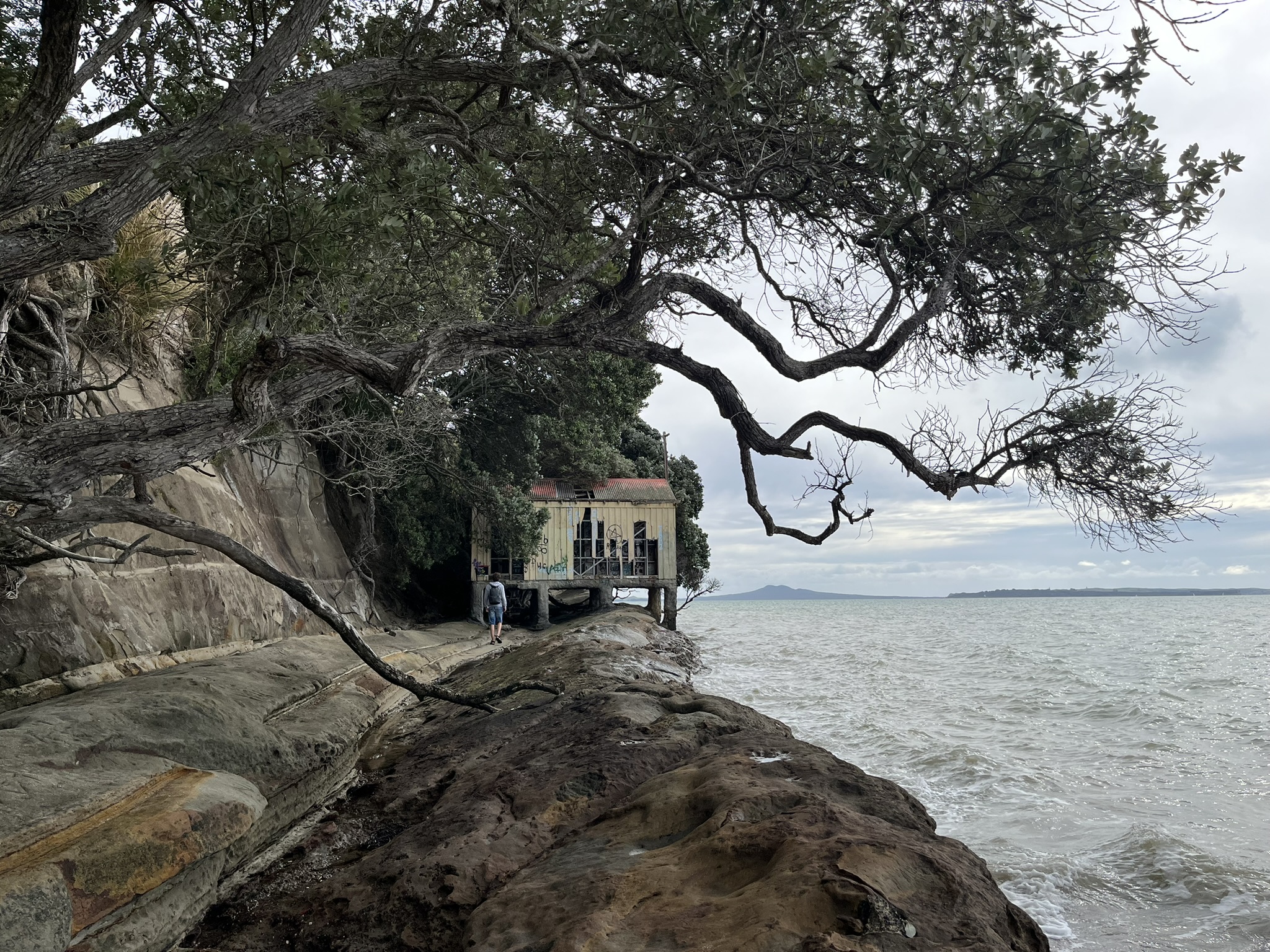
When the service finished, I met Simen there. And on the way back to Carlaw Park, we decided that we would take the ferry to Pine Harbour later that day and explore the seafront of Beachlands and Maraetai, the easternmost of Auckland’s suburbs. So at 11 we got on the public transport ferry to Pine Harbour, and 40 minutes later after a very enjoyable boat ride we arrived. Our first port of call, which we were in a bit of a hurry to get to, was Motukaraka Island. This island, which lies just off the peninsula, has a land bridge during low tide and our plan was to walk over to it, and the hurry was from the fact that low tide was an hour ago with the tide now rolling in. We made it down onto the beach, admiring the stone/clay cliff and the many trees which had been eroded down on to the beach or were precariously hanging off the cliff wall.
Then we walked across the very strange sand and mud bridge over to Motukaraka Island, a really surreal experience for someone used to the water staying at roughly the same height. We then explored the beach out there, finding some shallow caves and a stairway up onto the island. However, the trail on the island was very overgrown, with barely any views. And as we were now running really quite low on time to make it back dry footed (tide was coming in at about 2 cm per minute and accelerating), we did not explore further. When we decided that we could no longer stay out there and started to make our way back, we found that we were on an actual island. Luckily not by much, there being a meter wide gap where the bridge was covered in cm deep water. After a considerably wetter walk back to the shore, we were “safe”.
Or so we though, as now we had to make our way back up from the beach on to the cliff tops. And the only ways off for quite some while was private stairs onto luxury homes. What followed was an enjoyable if slightly tense scramble across the cliffs and beaches to get to the public beach further on, all the while feeling like we were almost trespassing, and me making sure Simen kept up as he is less of a rock scrambler than me 😅 In the end it all worked out fine and was a fun little adventure, but looking back I while I had quite thoroughly checked the tides I can definitely say that it hadn’t really sunken in that the water would rise more than 2 meters more after we arrived at the island. Something to keep in mind for future beachfront adventures.
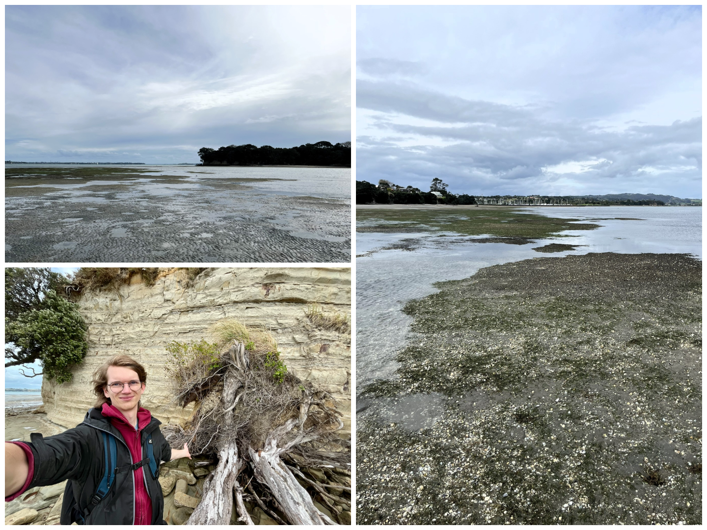
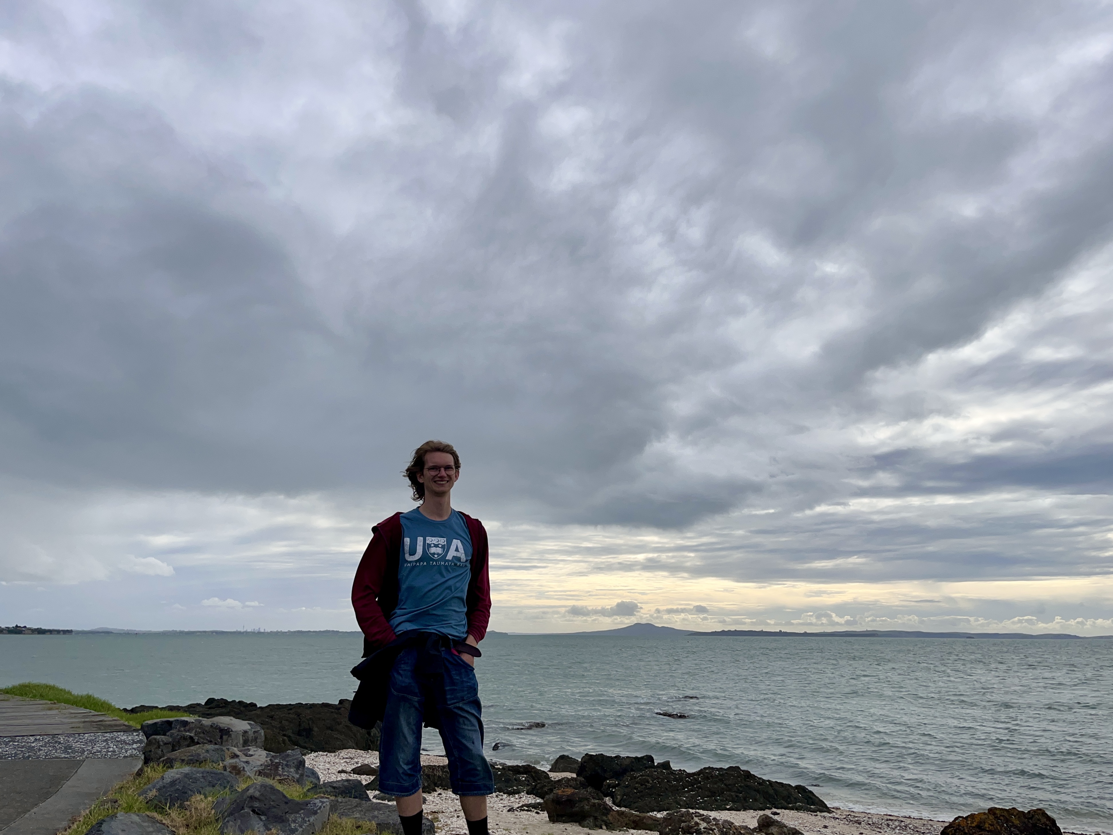
 The Beachlands beachfront, tide is rolling in
When we got back onto proper dry land, it was high time for lunch, which meant fried egg sandwiches with mayo. And a Flat White on that, as Simen needed to buy his lunch. Then we continued on along the water front, down to another beach where we found a very old and weathered boat house? But after that beach the next couple of kilometres were up on top of the cliffs (probably good considering the tide).
It was probably an hour of enjoyable but not very eventful walking until we reached Maraetai which was our anchor spot for the rest of the day as it was the last bus stop, and to have any hope of reaching the last ferry in time (17:30) we would need to be on the 5 o clock bus from Maraetai beach. Our ambition was to make it all the way down to Duder Regional Park and Whakakaiwhara Point, but we realised by the time we got to the bus stop that we really didn’t have a shot at making it all the way out there and back if we wanted to catch that bus. In the end, we walked about halfway down the coast between Maraetai and Duder along the Pacific Highway (which is not the same as a motorway), before turning back. While waiting for the bus, Simen went for a swim despite the clouds and quite cool air, while I watched holes in the clouds paint brilliant saturated highlights on Waiheke Island opposite us, and a wing surfer on a foiling board styling out in the water.
We got on the bus, rode back to Pine Harbour, and then got on the ferry back. I stayed outside on the ride back as well (alone this time) and had a really wonderful time feeling the gale and sea spray on my face. I really love the sea, and it felt quite nostalgic riding back through the setting darkness, it reminded me forcefully of night trips across Ålands hav during our summer cruises when I was younger.
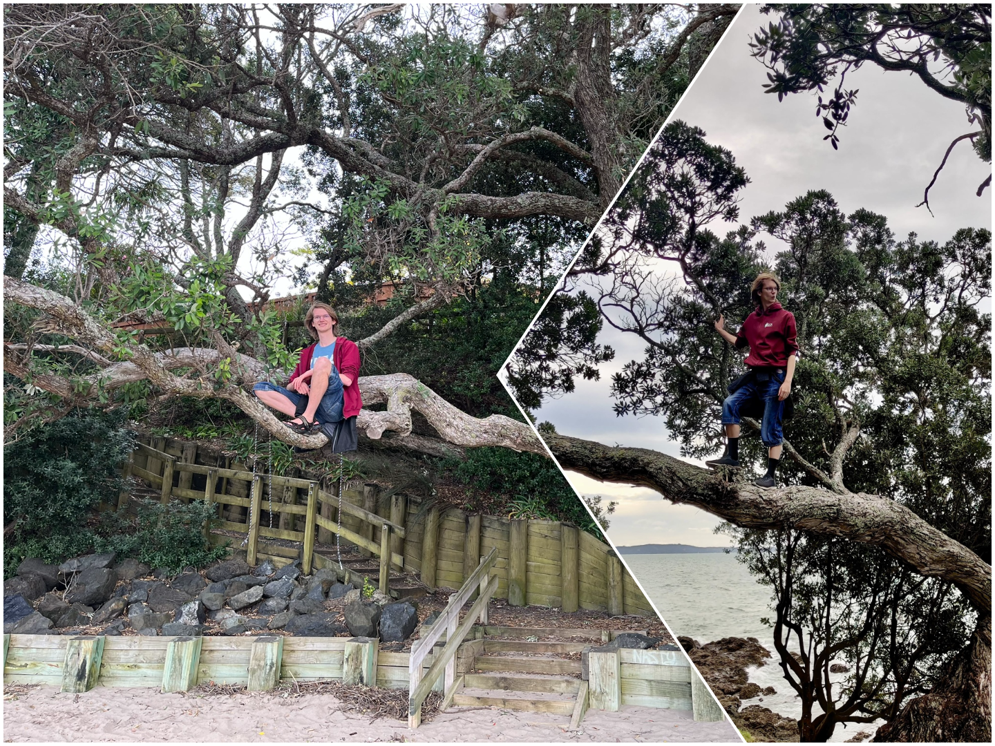
All in all, a really wonderful day. Oh, and did I mention how many trees I got to climb. Another of my specialities, it’s so much fun.